


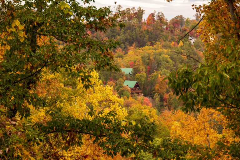
Nothing else in the American park system pulls the numbers that Great Smoky Mountains National Park does, and a good share of those visitors show up without much of a plan. Half a million acres sit along the Tennessee and North Carolina border, rising from valley floors to ridges over six thousand feet, and that spread produces weather, traffic, and terrain that shift from one hour to the next. People who read up beforehand tend to have a fine time. People who wing it usually spend the weekend stuck in a line of cars.
Handling the Booking Before Anything Else
Where you sleep shapes everything else about a trip like this, and it is the decision most people leave until last. Vacation rentals in this corner of Tennessee go quickly, especially the ones with room for a group and a location that keeps you close to the park without dropping you into the middle of traffic. Wait too long, and the family splits across three places, nobody cooks a meal together, and the total comes out higher than it should have. Smoky Mountain Vacation is a solid place to look for Great Smoky Mountains National Park vacation rentals, with cabins running from one bedroom up to seventeen and full kitchens throughout. Specials run all year, so it pays to look at current deals before committing.
Paying to Park, Not to Enter
Admission here costs nothing, which throws people who expect a gate and a fee booth. What the park does require is a parking tag on any vehicle sitting still for more than fifteen minutes. Daily, weekly, and annual versions are sold online and at visitor centers, and rangers do check. This one rule accounts for a surprising number of ruined mornings. Entrances sit near Gatlinburg on the Tennessee side, Cherokee on the North Carolina side, and Townsend for anyone who prefers a quieter approach. Whichever you choose, getting there before nine changes the whole shape of the day between June and October.
Picking a Season
Each part of the year offers something real and takes something away. Spring runs from late March into May, bringing wildflowers in numbers that draw botanists from across the country, along with fast water and temperatures that swing hard at elevation. Summer is warm and thick with green, with thunderstorms that build in the afternoon and pass within an hour. Fall is the busiest stretch by a wide margin because the color descends the slopes gradually instead of turning all at once, though an October Saturday can turn a short drive into a two-hour crawl. Winter clears the crowds and opens sightlines through bare branches, but ice shuts high roads down for stretches at a time.
Reading the Terrain Correctly
These are old mountains, worn smooth and covered in forest, and that description fools people into expecting easy walking. It is not. Trails climb steadily, and the canopy means you can gain a thousand feet without seeing anything but trees. Mileage understates the effort here. A five-mile loop with fifteen hundred feet of climbing takes most people a solid half day, more in July humidity. Starting something ambitious after lunch is how first timers end up finishing by phone light. Better to keep day one under three miles and work upward from there, and there is no shortage of short routes that reach creeks, overlooks, or old settlement buildings without eating the whole afternoon.
Sharing the Ground With Animals
Black bears live here at roughly two per square mile, so an encounter is a reasonable expectation rather than a rare stroke of luck. The rules are simple and enforced. Keep fifty yards between you and any bear, never leave food out, and never run. Elk graze the open fields on the North Carolina side at dawn and dusk and pull small crowds that regularly ignore the same distance requirement. Past the big animals, the park holds one of the densest concentrations of salamander species anywhere on the planet, which is a large part of why scientists have been surveying this ground for the better part of a century.
Weather That Depends on Height
Elevation matters more than the date on the calendar. Ridgetops usually run ten to fifteen degrees cooler than the valleys below, and they catch fog and rain that never touches lower ground. The high country takes over eighty inches of rain a year, closer to a rainforest than what most people picture when they think of Tennessee. So layers are worth carrying, a rain shell earns its space, and the forecast for the nearest town tells you almost nothing about what is happening on the ridge. Checking conditions for the actual elevation you plan to reach is the difference between a good day and a soaked one.
Roads Worth the Drive
Plenty of the experience happens through a windshield, and that is not a compromise. Newfound Gap Road runs the full width of the park from one state into the other, passing through several distinct forest zones on the climb. Cades Cove Loop Road covers eleven one-way miles across open valley floor, which makes it excellent for spotting wildlife and infamous for backups on weekends, and it closes to vehicles every Wednesday from May through September. Some routes are gravel and a few close with the seasons on short notice, so a quick check of road status before setting out saves real time. Cell coverage inside the boundary is unreliable at best, which makes downloading maps ahead a necessity rather than a precaution.
Working Around the Volume
Around eleven million visits a year land on a handful of well-known spots, which is why the park can feel jammed and deserted within a few miles of each other. The famous places fill by mid-morning and stay full. Going early, going late, or picking something a little less publicized fixes most of the problem on its own. Weekdays are quieter than weekends in every season without exception. There is genuine quiet available across this much ground, but finding it takes a small amount of intent rather than good fortune, and the visitors who work that out on their first trip are usually the ones who come back.
